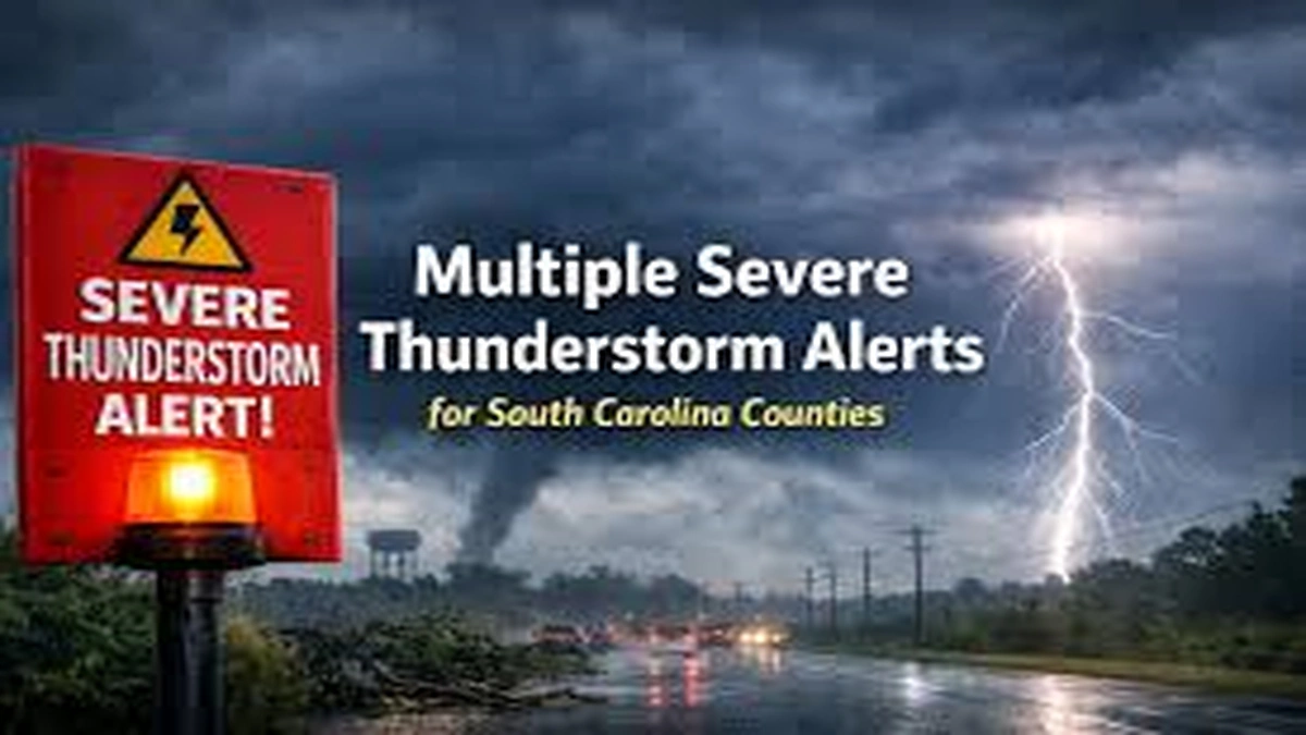
I kept seeing the same pattern repeat: one alert pops up, then another, then a third, and suddenly a whole swath of South Carolina is checking phones, scanning radar, and deciding whether to cancel practice, delay a commute, or pull the car into the garage. When multiple severe thunderstorm alerts issued for south Carolina counties, it can feel chaotic. It is not random, though. It is the weather system doing what it often does here: building quickly, moving fast, and forcing decisions on a short clock.
This article explains why these alert clusters happen, what the different alert types actually mean, how counties can be warned one after another in a single afternoon, and what residents can do to reduce risk before the first rumble of thunder.
Why South Carolina Gets Bursts of Severe Thunderstorm Alerts
South Carolina sits in a zone where warm, humid air often meets cooler, drier air sliding in from the west or north. When that boundary sharpens into a cold front or an active storm line, thunderstorms can form rapidly, strengthen quickly, and organize into long lines that cross multiple counties within hours.
Even when the “main event” is brief, the ingredients can be widespread across regions like the Upstate, Midlands, Pee Dee, and Lowcountry. That is why it is common to see alerts issued in groups rather than a single isolated warning.
Severe storms and related hazards are a recurring reality in the state, which is why preparedness messaging is emphasized through joint efforts like Severe Weather and Flood Preparedness Week led by the National Weather Service and the South Carolina Emergency Management Division.
The difference between a stormy day and a severe day
A typical thunderstorm can still produce heavy rain and dangerous lightning. A severe thunderstorm adds the potential for damage, mainly from high winds and hail. The tricky part is that storms can intensify between radar scans, so what starts as “just thunder” can become “take cover now” in minutes.
That rapid ramp-up is why multiple counties may receive alerts in quick succession as storms strengthen and move along.
What “Multiple Alerts” Usually Means in Practice
When people say “multiple severe thunderstorm alerts,” they are often referring to a mix of:
- Severe Thunderstorm Watches (conditions are favorable)
- Severe Thunderstorm Warnings (severe weather is occurring or imminent)
- Related alerts that commonly travel with severe storms, such as flood advisories or tornado warnings in a smaller area if rotation develops
A single organized line of storms can trigger warnings county by county as it moves. The same storm line might first prompt a warning near the Georgia border, then the next county east, then another, until the line reaches the coast.
In past outbreaks and high-impact days, Multiple Severe Thunderstorm Alerts Issued for South Carolina Counties including Charleston, Clarendon, and Orangeburg have been cited as being under severe thunderstorm warnings during multi-state severe weather episodes.
Watches vs Warnings: The Most Important Distinction
If there is one concept that reduces confusion fast, it is this:
Severe Thunderstorm Watch
A watch means storms are possible and could become severe. It is your signal to get ready.
Practical actions during a watch:
- Charge devices and keep a battery pack handy
- Park vehicles under cover if hail is possible
- Move outdoor items that can become airborne
- Check where you would shelter if a warning is issued
Severe Thunderstorm Warning
A warning means a severe thunderstorm is happening now or about to impact your location. This is the moment to act.
Local governments sometimes echo these warnings with specific timing and local context. For example, York County’s alert center has posted severe thunderstorm warnings issued by the National Weather Service, noting risks such as hail, strong winds, heavy rain, and even isolated tornado potential.
What Makes a Thunderstorm “Severe” According to the National Weather Service
In the United States, the National Weather Service issues a severe thunderstorm warning when storms are capable of producing damaging winds and or hail meeting warning thresholds. One widely cited baseline is winds around 58 mph or higher and or hail around 1 inch or larger (roughly quarter size).
That matters because it explains why warnings can feel frequent. The threshold is not “catastrophic,” it is “damage is possible.” A 60 mph gust can drop limbs on power lines, knock down weaker trees, and damage roofs, especially when the ground is already wet.
The “Considerable” and “Destructive” Tags You Might See
In recent years, the National Weather Service expanded its warning format to better communicate higher-end storms. Some warnings include a damage threat label at the bottom.
Considerable
“Considerable” is used for higher-end severe storms, such as hail around 1.75 inches (golf ball size) and or winds around 70 mph.
Destructive
“Destructive” is reserved for the most intense severe thunderstorms, such as hail around 2.75 inches (baseball size) and or winds around 80 mph.
A key point: destructive-tagged warnings can trigger Wireless Emergency Alerts on smartphones in the warned area.
If you receive one of these loud, attention-grabbing phone alerts, it is not hype. It is the system reserving special emphasis for a storm capable of major damage.
Why Alerts Often Hit Multiple Severe Thunderstorm Alerts Issued for South Carolina Counties at Once
It can feel odd to read a list of counties and wonder why your county is included when the sky looks calm. The reason is timing and storm motion.
Here is how it plays out:
- Storms form along a boundary (front, sea breeze collision, or outflow boundary)
- They organize into a line or cluster
- Forecasters track movement and issue warnings for the storm’s projected path
- The line crosses county borders faster than people expect, so warnings expand and hop eastward
South Carolina’s geography also encourages this county-to-county pattern:
- Storms entering from Georgia often impact the Upstate and Midlands first
- Storms that strengthen in the Midlands can race toward the Pee Dee
- Coastal boundaries can intensify storms near the Lowcountry late day
The Main Hazards Behind Severe Thunderstorm Alerts
Severe thunderstorm alerts are not one-size-fits-all. They usually focus on one or more hazards.
Damaging straight-line winds
This is the most common reason warnings are issued. Straight-line winds can:
- Snap limbs, topple trees, and take down power lines
- Damage roofs and siding
- Flip trampolines and blow patio furniture into windows
Wind is also what turns routine storms into widespread outage events, especially when storms arrive in clusters that strain restoration efforts.
Large hail
Hail is often underestimated because it can be localized. A neighborhood can get golf ball hail while another area five miles away gets heavy rain only.
Hail risk is a strong reason to:
- Park under cover
- Protect skylights and vehicles
- Keep pets indoors
Frequent lightning
Lightning is a killer hazard even in non-severe storms. During severe weather, lightning often increases as storms strengthen.
A good standard is: if you hear thunder, you are close enough to be struck. Move indoors.
Flash flooding and poor drainage flooding
Severe storms can dump intense rainfall quickly, especially when storms “train” over the same area. Urban spots with clogged drains flood fast, and rural roads can wash out.
Official messaging commonly urges drivers not to cross flooded roads.
Brief tornado potential
Not every severe thunderstorm warning implies a tornado. Still, tornadoes can spin up quickly along storm lines, and warnings sometimes mention “isolated tornadoes” or “rotation possible,” especially in strong squall lines.
That is why interior shelter guidance is so consistent.
What To Do Before Alerts Hit Your County
If you wait until the warning tone sounds, you lose time. The best approach is to treat a watch or a “stormy afternoon” forecast as your setup window.
Make your shelter plan simple
Pick the safest spot in your home:
- Lowest level
- Interior room
- Away from windows
If you live in a mobile home, your plan should include a sturdier nearby shelter option before storms arrive.
Protect what gets damaged easily
In the hours before storms:
- Bring in or tie down outdoor items
- Move vehicles away from large trees if possible
- Close blinds to reduce glass hazards if windows break
- Check that gutters and drains are not clogged if heavy rain is expected
Get information from reliable sources
You do not need 12 apps. You need a few trusted channels:
- National Weather Service local office messaging
- County emergency management alerts if available
- A local TV meteorologist you trust
- NOAA Weather Radio if you live in an area with weak cell coverage
Preparedness messaging in South Carolina regularly emphasizes having multiple ways to receive warnings and staying connected during severe weather.
What To Do During a Severe Thunderstorm Warning
When the warning is active for your area, treat it as a short, focused safety drill.
Go indoors and move away from windows
The standard guidance in severe thunderstorm warnings commonly tells people to move to an interior room on the lowest floor and avoid windows.
That is not overcautious. Wind-driven debris and falling limbs are the usual injury causes.
Avoid travel if storms are approaching
If you are driving:
- Get off highways early if visibility drops
- Avoid parking under overpasses (wind risk and traffic hazards)
- Never drive through water covering the road
If you are outdoors, do not “wait it out”
Lightning can strike miles away from the storm core. Move inside a substantial building. A small shed is not enough.
What To Do After the Storm Passes
Severe weather can leave hazards behind even when the sky clears.
Watch for downed power lines and unstable trees
Assume every downed line is energized. Keep distance and report it.
Avoid flooded areas
Flooded roads can hide washed-out pavement. Even shallow water can stall a car, and moving water can sweep it away.
Document damage safely
If you need insurance documentation:
- Take photos from a safe distance
- Do not climb onto roofs during windy post-storm conditions
- Be cautious of nails, broken glass, and unstable limbs
Why Alerts Can Feel “Overused,” and Why They Still Matter
Some people develop alert fatigue, especially if storms weaken before reaching them. But warning polygons are based on storm motion, radar data, and reasonable projections, not certainty at your driveway.
Also, even if a storm weakens, the warning may have been accurate for another part of the polygon where winds or hail did occur.
The “destructive” and “considerable” tags exist partly to reduce this fatigue by clearly signaling when a storm is at the top end of severity.
How Parents, Schools, and Employers Can Handle Alert Clusters Better
Multiple alerts across counties create real logistical problems. The goal is not panic. The goal is consistent triggers for action.
For parents
- If a warning is issued, assume outdoor practices and parks are unsafe
- Have a pickup plan that does not rely on last-minute driving through storm cores
- Teach kids where to go in the house when thunder starts
For schools
- Use a consistent lightning rule for outdoor activities
- Practice moving students away from windows quickly
- Coordinate with district transportation on rerouting during flooded-road scenarios
For employers
- If your workplace has large windows, define interior shelter zones
- Encourage employees to delay travel during active warnings rather than pushing commutes
- Make sure severe weather alerts are enabled on at least one shared device
South Carolina Regions That Often See Different Storm Behaviors
While storms can hit anywhere, impacts vary by region.
Upstate
Storms entering from the west can intensify quickly with terrain influences and strong winds aloft. Wind damage and fast-moving lines are common concerns.
Midlands
The Midlands often sees organized storm lines racing east. If storms arrive late afternoon, timing can collide with commuting and school dismissal.
Pee Dee
The Pee Dee can experience training storms that increase flooding risk, depending on the setup.
Lowcountry
Sea breeze boundaries can contribute to storm initiation or intensification. Coastal counties also have higher exposure to saturated ground and downed trees when storms follow wet periods.
Conclusion
When multiple severe thunderstorm alerts are issued across South Carolina counties, it usually means the atmosphere is primed and storms are moving in an organized way. The alerts can stack up quickly because the storm line itself is crossing borders quickly.
The most practical mindset is simple: watches are your setup time, warnings are your action time, and “destructive” warnings are the ones you treat like an immediate shelter order because the storm is capable of truly serious damage.
FAQs
1. Why did my phone get a loud emergency alert for a thunderstorm?
Some severe thunderstorm warnings include a “destructive” damage threat tag, and those can trigger Wireless Emergency Alerts on smartphones in the warned area.
2. is the difference between a watch and a warning?
A watch means conditions are favorable for severe storms. A warning means severe storms are occurring or imminent and you should take protective action.
3. Can a severe thunderstorm produce a tornado?
Yes. Not all severe thunderstorms produce tornadoes, but some warnings mention tornado potential, and brief spin-ups can occur, especially along strong storm lines.
4. What wind speed is considered severe in a thunderstorm warning?
A commonly cited baseline for severe thunderstorm warnings is wind gusts around 58 mph or higher and or hail around 1 inch or larger.
5. What does “considerable” mean on a warning?
“Considerable” is used for higher-end severe storms, such as hail around 1.75 inches and or winds around 70 mph.